Ni · Co · Mg
Natércia Critical Minerals Project
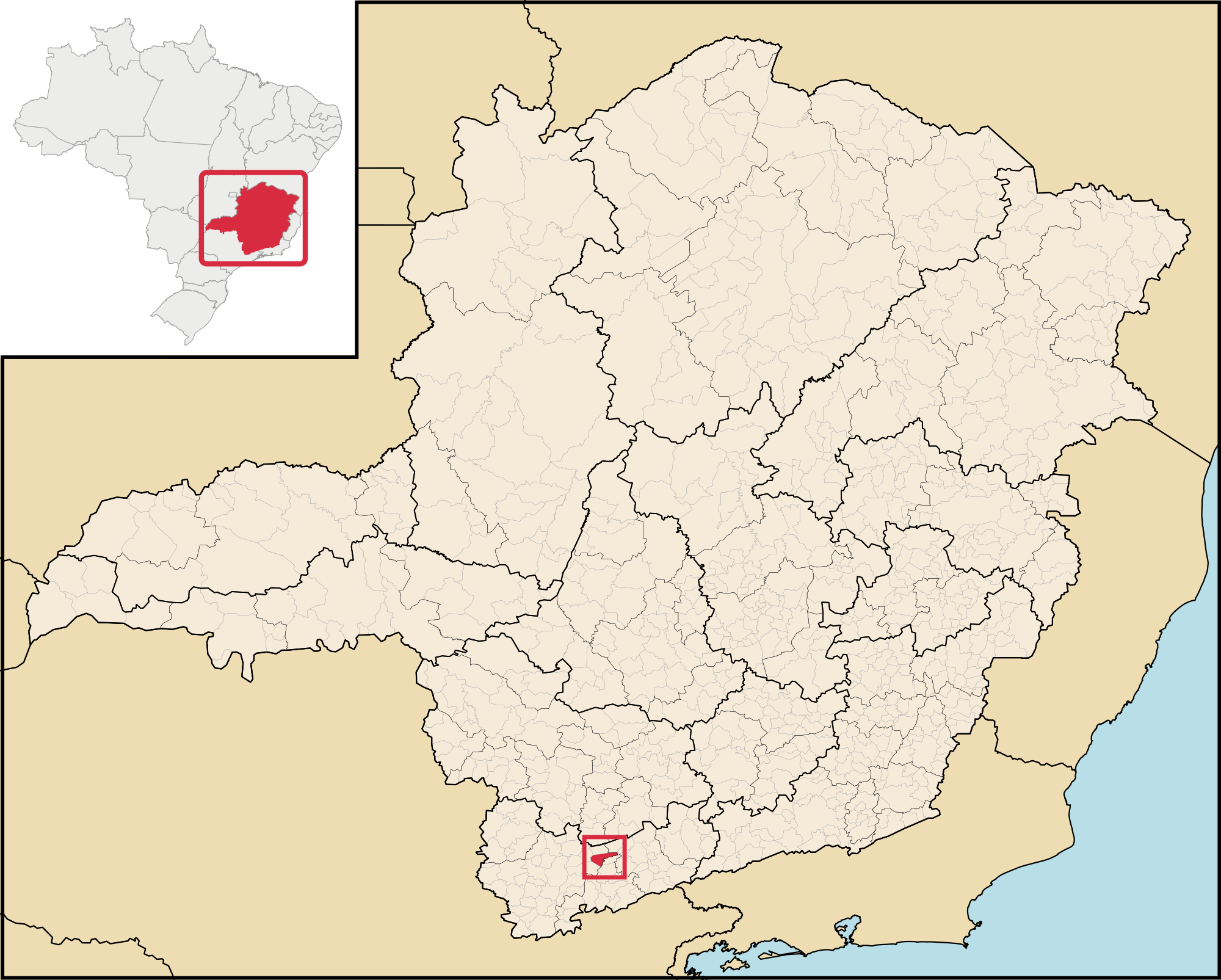
The Natércia Project is a developing nickel-cobalt-magnesium mineral project located in Minas Gerais, Brazil.
The Natércia Project is a developing nickel-cobalt-magnesium mineral project located in Minas Gerais, Brazil.
MBR's strategy is to combine geological development with local hydrometallurgical processing and the production of higher-value mineral and chemical products.
Ni | Co | Mg
Nickel · Cobalt · Magnesium
Development Stage
Metallurgical development and pilot-scale validation.
Processing Strategy
Hydrometallurgical transformation and progressive scale-up.
Geology & Exploration
A weathering-controlled polymetallic system
The Natércia Project is associated with a deeply weathered metamafic–ultramafic, serpentinized geological system in southern Minas Gerais. Prolonged weathering developed a lateritic profile composed predominantly of soil, saprolite and altered ultramafic rock, with saprolite representing the principal and most continuous geological domain identified by the current drilling.
The geological and geochemical database indicates systematic variation through the weathering profile. Nickel enrichment is preferentially associated with the saprolitic domains, while progressively less weathered and altered ultramafic material generally contains higher magnesium levels. This vertical and lateral zonation is increasingly relevant to MBR's development strategy, which evaluates Natércia as an integrated Ni–Co–Mg hydrometallurgical opportunity rather than solely as a conventional nickel feed.
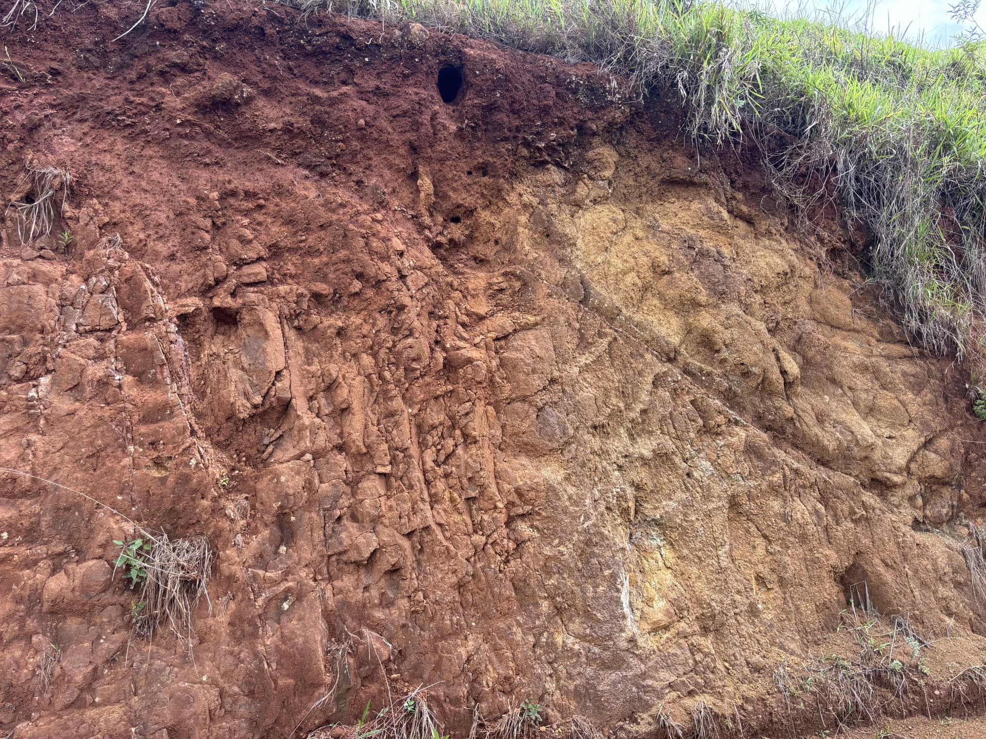
Weathered ultramafic outcrop at the Natércia Project, Minas Gerais.
Field exposure illustrating the intense and heterogeneous weathering characteristic of the project area.
Weathering profile
Lateritic profile developed over altered metamafic–ultramafic rocks.
Dominant domain
~64% Saprolite
Saprolite represents approximately 5.58 Mt of the current modeled geological inventory.
Geometallurgical potential
Variations in lithology, nickel and magnesium provide the geological basis for an integrated hydrometallurgical development strategy.
Exploration footprint
Drilling the interpreted mineralized system
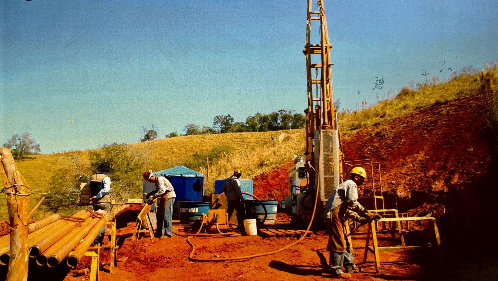
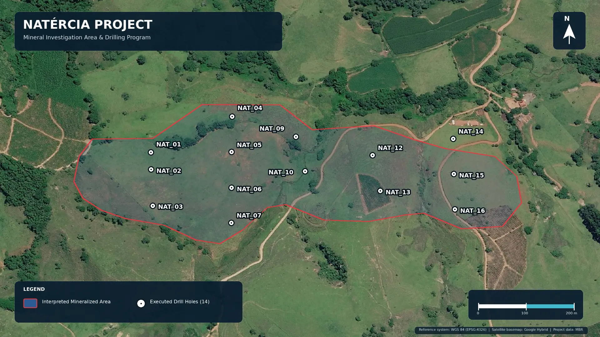
Fourteen executed drill holes form the current subsurface investigation database at Natércia, providing the geological and analytical foundation for MBR's current interpretation of the mineralized system.
Preliminary geological inventory
Building scale through geological modelling
MBR's current internal geological model indicates approximately 8.75 million tonnes within the interpreted Natércia geological system. The estimate integrates the current drilling database, topography and lithological domains through preliminary three-dimensional block modelling.
~8.75 Mt
Preliminary geological inventory
14
Executed drill holes
384.3 m
Drilling database
385
Analytical intervals
Saprolite — dominant geological domain
Approximately 5.58 Mt, representing roughly 64% of the current modeled geological inventory.
Technical note
The 8.75 Mt figure represents a preliminary internal geological inventory based on MBR's current geological model. It has not been classified as a Mineral Resource or Mineral Reserve under CBRR, JORC or equivalent reporting standards and remains subject to additional geological validation, drilling, QA/QC, density characterization and model refinement.
Geological de-risking
Advancing toward a defined mineral resource
MBR is advancing the Natércia Project from a preliminary geological inventory toward a progressively higher-confidence geological model. The next phase is focused on increasing drill density, validating physical and analytical parameters, refining geological domains and strengthening the technical basis for future mineral resource classification under recognized reporting standards.
- 01
Current model
- 14 executed drill holes
- ~8.75 Mt preliminary geological inventory
- 02
Infill & step-out
- Increase geological control across priority areas and less-constrained margins
- 03
Validate
- Density characterization
- QA/QC consolidation
- 04
Refine
- Updated geological domains
- Geostatistical review
- Geometallurgical integration
- 05
Independent review
- Independent technical validation
- 06
Future resource classification
- Progress toward classification under recognized reporting standards
The current drilling provides the strongest geological control across the central portion of the interpreted system. Future work is intended to increase confidence across less-constrained margins and priority geological domains.
Development path
Project Development Path
Exploration & Geological Modelling
Completed
Mining & Dry-Processing Permitting
Completed
Metallurgical Development
In progress
Pilot-Scale Validation
Planned
Mineral Resource Evaluation
Planned
Demonstration
Planned
Industrial Development
Planned
Technology
Technology Development Status
Technology scale-up program submitted to FINEP and currently under evaluation.
Technology development in cooperation with CETEM/MCTI.